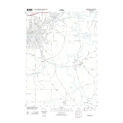
2013 Map of Jamestown
USGS Topo · Published 2013About this map
Falconer and the outskirts of Jamestown define the northern portion of this Chautauqua County landscape, where the Chadakoin River flows through the industrial and residential heart of the region. The map details a transition from the dense urban grid of Jamestown to the agricultural reaches of Kiantone and Frewsburg. Along the winding courses of Conewango Cr and Stillwater Cr, the layout of small settlements and dairy farms is clear.
Find a feature on this map
100 named features on this map. Tap any name to fly to it.
Don’t see what you’re looking for? This feature index may not catch every label — zoom into the map to look around manually.
Map Details
Editions of this 2013 Jamestown Map
This is the sole edition of this map. No revisions or reprints were ever made.
Other maps of this area

1904 · Chautaqua
USGS Topo · 1:62,500

1905 · Jamestown
USGS Topo · 1:62,500

1906 · Warren
USGS Topo · 1:62,500

1907 · Warren
USGS Topo · 1:62,500

1908 · Warren
USGS Topo · 1:62,500

1926 · Youngsville
USGS Topo · 1:62,500

1929 · Youngsville
USGS Topo · 1:62,500

1941 · Chautauqua
USGS Topo · 1:62,500

1942 · Jamestown
USGS Topo · 1:62,500

1943 · Youngsville
USGS Topo · 1:62,500