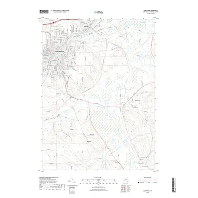
2019 Map of Jamestown
USGS Topo · Published 2019About this map
The Chadakoin River flows through the industrial and residential heart of Jamestown, serving as a central geographic anchor for this southern Chautauqua County landscape. The 2019 data reveals a transition from the dense urban grid of the city and its neighbor Falconer to the broader agricultural and riverine valleys of the south. Along the Conewango Creek and Stillwater Creek, the map details a network of smaller communities such as Stillwater, Frewsburg, and Kiantone. Genealogists will find significant value in the distribution of family and community burial grounds, including the large Lake View Cemetery and the more outlying Thayer Cemetery. The southern reaches toward the state line near Fentonville are defined by the convergence of several waterways, including Kiantone Creek and Frews Run, illustrating the drainage patterns that have historically shaped settlement and road placement in this region.
Find a feature on this map
49 named features on this map. Tap any name to fly to it.
Don’t see what you’re looking for? This feature index may not catch every label — zoom into the map to look around manually.
Map Details
Editions of this 2019 Jamestown Map
This is the sole edition of this map. No revisions or reprints were ever made.
Other maps of this area

1904 · Chautaqua
USGS Topo · 1:62,500

1905 · Jamestown
USGS Topo · 1:62,500

1906 · Warren
USGS Topo · 1:62,500

1907 · Warren
USGS Topo · 1:62,500

1908 · Warren
USGS Topo · 1:62,500

1926 · Youngsville
USGS Topo · 1:62,500

1929 · Youngsville
USGS Topo · 1:62,500

1941 · Chautauqua
USGS Topo · 1:62,500

1942 · Jamestown
USGS Topo · 1:62,500

1943 · Youngsville
USGS Topo · 1:62,500