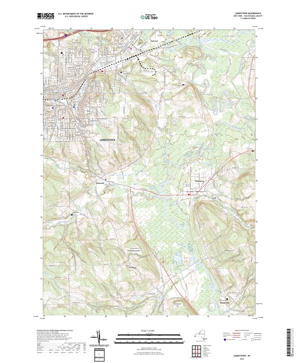
2023 Map of Jamestown
USGS Topo · Published 2023About this map
Jamestown and its surrounding river valleys are documented here in detail, showcasing the urban layout along the Chadakoin River and its confluence with Moon Brook. The map reveals the dense residential and institutional development of the area, including Jamestown Community College and several significant burial grounds like Lake View Cem and Pine Hill Cem. Beyond the city limits, the terrain transitions into the agricultural and riparian corridors of Conewango Creek and Stillwater Creek. Smaller settlements like Falconer, Frewsburg, Kiantone, and Fentonville are mapped along these waterways, highlighting a long-standing settlement pattern tied to the valley floor. Regional landmarks such as Laska Airport and topographic high points like Jones Hill and Sturdevant Hill provide a clear view of the Chautauqua County landscape, where the confluence of numerous runs and creeks has historically shaped transportation and community growth.
Find a feature on this map
204 named features on this map. Tap any name to fly to it.
Don’t see what you’re looking for? This feature index may not catch every label — zoom into the map to look around manually.
Map Details
Editions of this 2023 Jamestown Map
This is the sole edition of this map. No revisions or reprints were ever made.
Other maps of this area

1904 · Chautaqua
USGS Topo · 1:62,500

1905 · Jamestown
USGS Topo · 1:62,500

1906 · Warren
USGS Topo · 1:62,500

1907 · Warren
USGS Topo · 1:62,500

1908 · Warren
USGS Topo · 1:62,500

1926 · Youngsville
USGS Topo · 1:62,500

1929 · Youngsville
USGS Topo · 1:62,500

1941 · Chautauqua
USGS Topo · 1:62,500

1942 · Jamestown
USGS Topo · 1:62,500

1943 · Youngsville
USGS Topo · 1:62,500