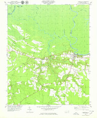
2022 Map of Jamesville
USGS Topo · Published 2022About this map
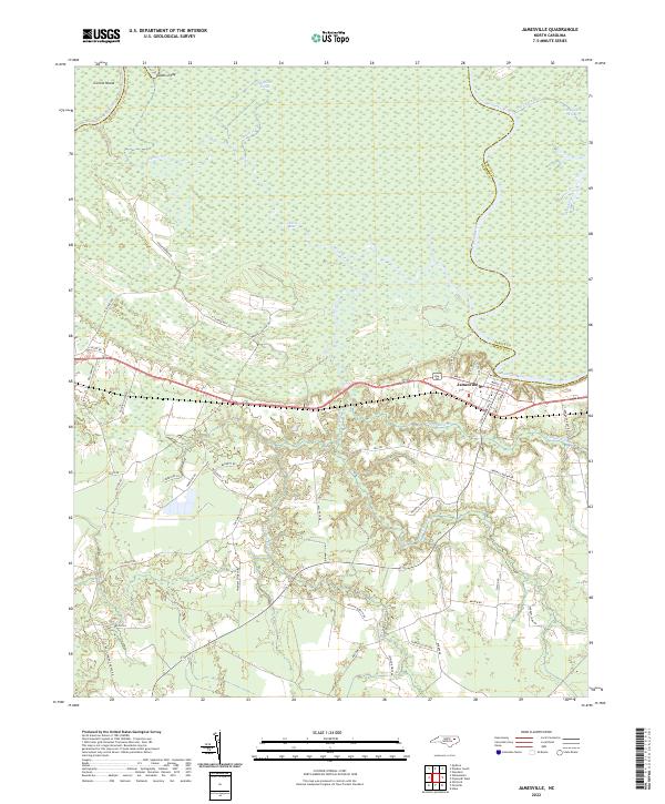
The settlement of Jamesville occupies the high ground south of the Roanoke River, serving as a focal point where the modern road network meets the labyrinthine waterways of the North Carolina coastal plain. The northern half of the landscape is dominated by the sprawling wetlands of the Roanoke River basin, characterized by complex distributaries and side channels like Devils Gut, Spellers Creek, and Cut Cypress Creek. These waters isolate large landmasses such as Conine Island and form natural features like Kaders Eddy. In contrast, the southern portion of the area shows a more developed upland pattern, where numerous local roads like Fairview Church Rd, Holly Spring Church Rd, and Arthur Modlin Rd suggest a history of rural residences and agricultural land use. The topography here is defined by drainage systems like Cooper Swamp and Deep Run Swamp that flow toward the river valley.
Find a feature on this map
52 named features on this map. Tap any name to fly to it.
Don’t see what you’re looking for? This feature index may not catch every label — zoom into the map to look around manually.
Map Details
Editions of this 2022 Jamesville Map
This is the sole edition of this map. No revisions or reprints were ever made.