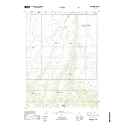
2018 Map of Jarbidge North
USGS Topo · Published 2018About this map
The town of Jarbidge sits at the southern edge of this survey, tucked into the narrow valley floor where Moore Gulch meets the Jarbidge River. The landscape is dominated by the high-elevation terrain of the Humboldt National Forest, characterized by the dramatic convergence of the Buck Creek Mountains and the Jarbidge Mountains. A complex network of drainage systems, including Corral Creek Canyon and the West Fork Rattlesnake Canyon, defines the northern descent toward the Idaho border. The map documents an area defined by its verticality and remote accessibility, with routes like the Bear Creek-Sanovia Tie and the Altitude Trail traversing the steep ridges. Water sources are critical markers in this arid high-country environment, noted by features such as Cottonwood Spring and the persistent flow within Jarbidge Canyon.
Find a feature on this map
40 named features on this map. Tap any name to fly to it.
Don’t see what you’re looking for? This feature index may not catch every label — zoom into the map to look around manually.
Map Details
Editions of this 2018 Jarbidge North Map
This is the sole edition of this map. No revisions or reprints were ever made.
Other maps of this area

1936 · Rowland
USGS Topo · 1:48,000

1940 · Rowland
USGS Topo · 1:62,500

1943 · Jarbidge
USGS Topo · 1:62,500

1945 · Jarbidge
USGS Topo · 1:62,500

1955 · Twin Falls
USGS Topo · 1:250,000

1955 · Wells
USGS Topo · 1:250,000

1958 · Wells
USGS Topo · 1:250,000

1958 · Twin Falls
USGS Topo · 1:250,000

1961 · Wells
USGS Topo · 1:250,000

1979 · Cowan Reservoir
USGS Topo · 1:24,000