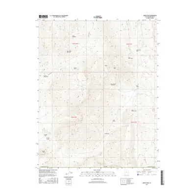
2017 Map of Jarvis Peak
USGS Topo · Published 2017About this map
Jarvis Peak dominates the high ground of the Beaver Dam Mountains in this modern topographic study of the borderlands between Utah and Arizona. The landscape is defined by an intricate network of drainage systems, including Castle Cliff Wash, Cottonwood Wash, and Cedar Pockets Wash, which carve through the high desert. Evidence of water management in this arid environment is visible through several small impoundments such as Quail Reservoir, Mine Valley Reservoir, and Laub Reservoir. In the southern reaches, the terrain descends toward the Mojave Desert, where the elevation breaks at Bulldog Pass and the Bulldog Knolls. This survey provides a clear view of the complex topography that transitions from the northern peaks, such as Tabeau Peak, down into the deep canyons of Bulldog Canyon and the valley of Cedar Pockets.
Find a feature on this map
27 named features on this map. Tap any name to fly to it.
Don’t see what you’re looking for? This feature index may not catch every label — zoom into the map to look around manually.
Map Details
Editions of this 2017 Jarvis Peak Map
This is the sole edition of this map. No revisions or reprints were ever made.
Other maps of this area

1885 · St. George
USGS Topo · 1:250,000

1886 · Mt. Trumbull
USGS Topo · 1:250,000

1891 · St. George
USGS Topo · 1:250,000

1892 · Mt. Trumbull
USGS Topo · 1:250,000

1953 · Cedar City
USGS Topo · 1:250,000

1953 · Grand Canyon
USGS Topo · 1:250,000

1954 · Beaver Dam Mts NE
USGS Topo · 1:24,000

1954 · Wolf Hole Mtn. NW
USGS Topo · 1:24,000

1954 · Beaver Dam Mts SE
USGS Topo · 1:24,000

1954 · St. George
USGS Topo · 1:62,500