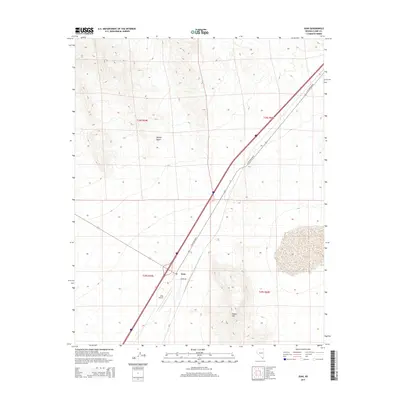
2015 Map of Jean
USGS Topo · Published 2015About this map
Jean sits as a lonely desert outpost along the primary transportation corridor of the southern Mojave Desert. The landscape is dominated by the harsh topography of the region, anchored by the rising slopes of Sheep Mtn to the east and the open expanse to the west. This 2015 survey reveals the critical infrastructure that sustains this remote Nevada settlement, specifically the Jean Airport and the heavy traffic artery of S Las Vegas Blvd.
Find a feature on this map
10 named features on this map. Tap any name to fly to it.
Don’t see what you’re looking for? This feature index may not catch every label — zoom into the map to look around manually.
Map Details
Editions of this 2015 Jean Map
This is the sole edition of this map. No revisions or reprints were ever made.
Other maps of this area

1910 · Ivanpah
USGS Topo · 1:250,000

1912 · Ivanpah
USGS Topo · 1:250,000

1942 · Ivanpah
USGS Topo · 1:250,000

1947 · Kingman
USGS Topo · 1:250,000

1948 · Kingman
USGS Topo · 1:250,000

1954 · Kingman
USGS Topo · 1:250,000

1955 · Kingman
USGS Topo · 1:250,000
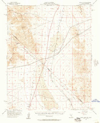
1955 · Roach Lake
USGS Topo · 1:62,500
1958 · Kingman
USGS Topo · 1:250,000
1960 · Kingman
USGS Topo · 1:250,000