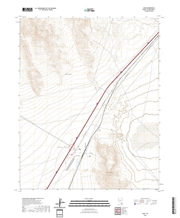
2021 Map of Jean
USGS Topo · Published 2021About this map
Ivanpah Valley serves as the focal point for this desert landscape, where the small settlement of Jean is positioned as a critical transit node. The geography is defined by the stark expanse of the Mojave Desert, bounded to the southeast by the rising slopes of Sheep Mtn. Infrastructure dominates the corridor, with the modern path of S Las Vegas Blvd cutting a straight line through the basin, mirroring the importance of this route to regional travel. The presence of the Jean Airport and the specialized access of Prison Rd highlight the specific land use of this arid region. For those researching the evolution of Nevada's transportation network or the development of outlying services in Clark County, this survey details the precise alignment of roads and landmarks against the topographical isolation of the valley floor.
Find a feature on this map
11 named features on this map. Tap any name to fly to it.
Don’t see what you’re looking for? This feature index may not catch every label — zoom into the map to look around manually.
Map Details
Editions of this 2021 Jean Map
This is the sole edition of this map. No revisions or reprints were ever made.
Other maps of this area

1910 · Ivanpah
USGS Topo · 1:250,000

1912 · Ivanpah
USGS Topo · 1:250,000

1942 · Ivanpah
USGS Topo · 1:250,000

1947 · Kingman
USGS Topo · 1:250,000

1948 · Kingman
USGS Topo · 1:250,000

1954 · Kingman
USGS Topo · 1:250,000

1955 · Kingman
USGS Topo · 1:250,000

1955 · Roach Lake
USGS Topo · 1:62,500

1958 · Kingman
USGS Topo · 1:250,000

1960 · Kingman
USGS Topo · 1:250,000