Loading...
Loading map...2022 Map of Jefferson City
USGS Topo · Published 2022About this map
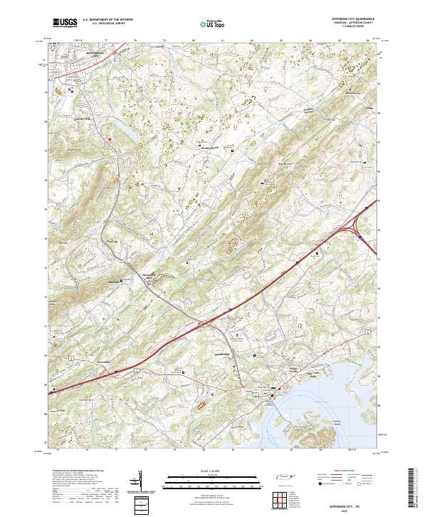
Jefferson City serves as a prominent anchor in this landscape, highlighted by the campus of Carson-Newman University. The terrain to the south is defined by the expansive waters of Douglas Lake, where the shoreline meets established communities like Dandridge and the recreational area of Lake View Park. This survey captures the topographical complexity of the region, from the heights of Bays Mountain and Shields Ridge to the lowlands of Dumplin Valley and Hunnicutt Valley.
Find a feature on this map
189 named features on this map. Tap any name to fly to it.
Don’t see what you’re looking for? This feature index may not catch every label — zoom into the map to look around manually.
Map Details
Date Portrayed2022
Date Published2022
PublisherU.S. Geological Survey
Map TypeTopographic
Scale1:24000
Physical Dimensions24 x 29 inches
Editions of this 2022 Jefferson City Map
This is the sole edition of this map. No revisions or reprints were ever made.
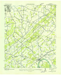
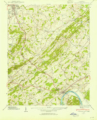
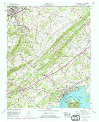
Historical Maps of Oakland Through Time
4 maps found
Featured Locations
Source Details
SourceU.S. Geological Survey
CopyrightPublic Domain