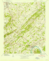
1939 Map of Jefferson City
USGS Topo · Published 1954About this map
Dandridge sits at a strategic bend of the French Broad River in this 1939 Tennessee Valley Authority survey. The landscape is defined by the parallel ridges of the Bays Mountain and the Dumplin Mountains, creating a series of fertile corridors like Dumplin Valley and Hunnicutt Valley. Agriculture and local industry are well-established, evidenced by Hill Mill and Hunnicutt Mill, alongside a notable Zinc Mine near Jefferson City.
Find a feature on this map
57 named features on this map. Tap any name to fly to it.
Don’t see what you’re looking for? This feature index may not catch every label — zoom into the map to look around manually.
Map Details
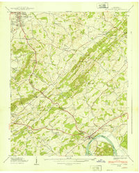
Editions of this 1939 Jefferson City Map
2 editions found
Other maps of this area

1883 · Morristown
USGS Topo · 1:125,000

1886 · Knoxville
USGS Topo · 1:125,000

1892 · Knoxville
USGS Topo · 1:125,000

1893 · Mt Guyot
USGS Topo · 1:125,000

1893 · Morristown
USGS Topo · 1:125,000

1894 · Knoxville
USGS Topo · 1:125,000

1895 · Morristown
USGS Topo · 1:125,000

1895 · Knoxville
USGS Topo · 1:125,000

1897 · Maynardville
USGS Topo · 1:125,000

1900 · Maynardville
USGS Topo · 1:125,000