
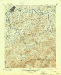
1894 Map of Knoxville
USGS Topo · Published 1894About this map
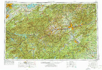
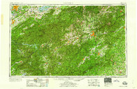
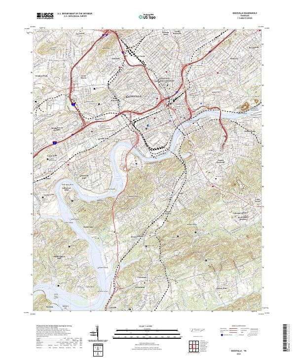
The Tennessee River and French Broad River converge just east of Knoxville, anchoring a landscape that transitions from industrial rail hubs to the high peaks of the Great Smoky Mountains. In the late 19th century, the region's economy relied heavily on river crossings like Boyd Ferry and the Knoxville and Augusta Railroad. To the south and east, the map details numerous small coves and gaps that defined early Appalachian settlement, such as Tuckaleeche Cove and Wear Cove. Education and tourism are already visible through landmarks like Porter Academy and the mineral waters of Montvale Springs. The rugged southern border follows the Tennessee South Carolina Boundary Line across summits like Thunder Head and Silers Bald, long before the establishment of the national park, showing early homesteads like Spencer Cabin deep in the wilderness.
Find a feature on this map
99 named features on this map. Tap any name to fly to it.
Don’t see what you’re looking for? This feature index may not catch every label — zoom into the map to look around manually.
Map Details
Editions of this 1894 Knoxville Map
This is the sole edition of this map. No revisions or reprints were ever made.
Historical Maps of Knoxville Through Time
21 maps found

1886 Knoxville
Knox County, TN

1892 Knoxville
Knox County, TN
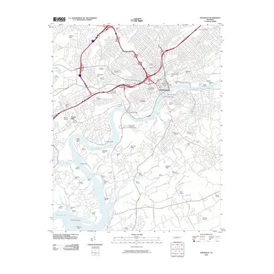
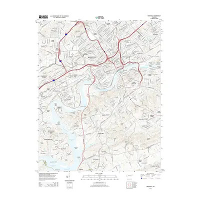
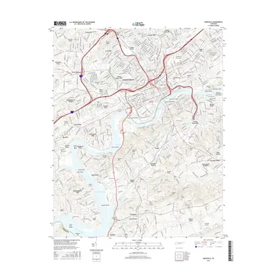
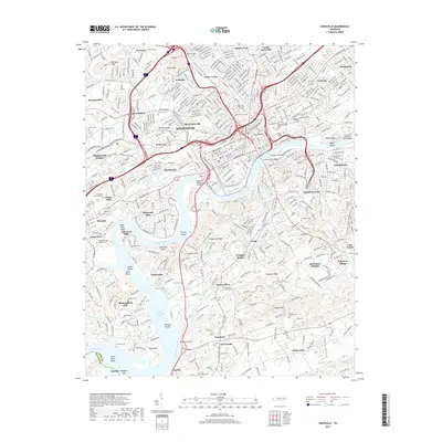
1894 Knoxville
Knox County, TN

1895 Knoxville
Knox County, TN
1901 Knoxville
Knox County, TN

1935 Knoxville
Knox County, TN
1936 Knoxville
Knox County, TN
1942 Knoxville
Knox County, TN
1953 Knoxville
Knox County, TN

1955 Knoxville
Knox County, TN
1957 Knoxville
Knox County, TN
1960 Knoxville
Knox County, TN

1964 Knoxville
Knox County, TN
1966 Knoxville
Knox County, TN
1978 Knoxville
Knox County, TN

1983 Knoxville
Knox County, TN
2010 Knoxville
Knox County, TN
2014 Knoxville
Knox County, TN
2016 Knoxville
Knox County, TN
2019 Knoxville
Knox County, TN
2022 Knoxville
Knox County, TN