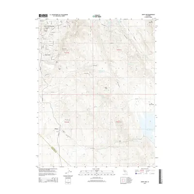
2015 Map of Jenny Lind
USGS Topo · Published 2015About this map
Milton and Jenny Lind anchor this Calaveras County landscape, where the foothills of the Bear Mountains meet the developed water systems of central California. The 2015 survey reveals a terrain defined by historical gulches and modern water management, notably the New Hogan Lake in the north and the Salt-Spring-Valley Reservoir to the southeast. These reservoirs are connected to a network of drainage and transport features like the S-Gulch Ditch and Rock Cr Ditch, reflecting the region's long-standing reliance on managed irrigation and water control.
Find a feature on this map
70 named features on this map. Tap any name to fly to it.
Don’t see what you’re looking for? This feature index may not catch every label — zoom into the map to look around manually.
Map Details
Editions of this 2015 Jenny Lind Map
This is the sole edition of this map. No revisions or reprints were ever made.
Other maps of this area

1889 · Jackson
USGS Topo · 1:125,000

1892 · Jackson
USGS Topo · 1:125,000

1897 · Jackson
USGS Topo · 1:125,000

1902 · Jackson
USGS Topo · 1:125,000

1915 · Trigo
USGS Topo · 1:31,680

1916 · Bachelor Valley
USGS Topo · 1:31,680

1916 · Copperopolis
USGS Topo · 1:62,500

1942 · Farmington
USGS Topo · 1:62,500

1942 · Copperopolis
USGS Topo · 1:62,500

1944 · Valley Springs
USGS Topo · 1:62,500