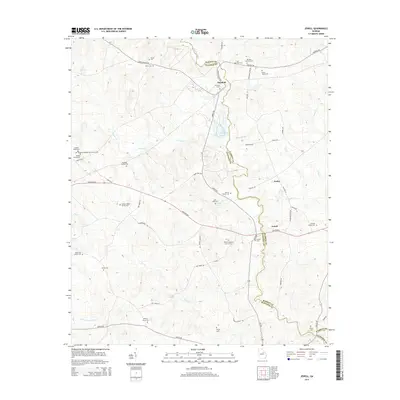
2014 Map of Jewell
USGS Topo · Published 2014About this map
The Ogeechee River carves a winding path along the border of Warren and Hancock counties, anchoring a landscape defined by small river-crossing settlements and generations of family heritage. In the northern reaches, Mayfield serves as a hub near the Fish Hatchery, while further downstream, the village of Jewell and the community of Ansley occupy the eastern banks. The area is exceptionally dense with genealogical markers, featuring numerous family-named burial sites such as the Coleman-Middlebrooks Family Cem, Gonder Poole Cem, and the McCown Grave. Significant religious and community centers like the Thankful Baptist Church Cem and Horeb Cem are scattered across the terrain, connected by a network of historic routes including the Augusta Hwy and Union Church Rd. This survey documents the intersection of rural Georgia road networks and water-based geography before they enter Glascock County to the south.
Find a feature on this map
60 named features on this map. Tap any name to fly to it.
Don’t see what you’re looking for? This feature index may not catch every label — zoom into the map to look around manually.
Map Details
Editions of this 2014 Jewell Map
This is the sole edition of this map. No revisions or reprints were ever made.
Other maps of this area

1953 · Athens
USGS Topo · 1:250,000

1958 · Athens
USGS Topo · 1:250,000

1959 · Athens
USGS Topo · 1:250,000

1960 · Warthen NE
USGS Topo · 1:24,000

1961 · Warthen NW
USGS Topo · 1:24,000

1963 · Athens
USGS Topo · 1:250,000

1971 · Beall Springs
USGS Topo · 1:24,000

1972 · Sparta NW
USGS Topo · 1:24,000
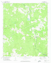
1972 · Jewell
USGS Topo · 1:24,000
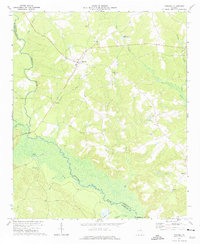
1972 · Mitchell
USGS Topo · 1:24,000