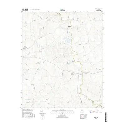
2017 Map of Jewell
USGS Topo · Published 2017About this map
The Ogeechee River carves a winding path through the borderlands of Warren and Hancock Counties, defining the rural character of the settlements at Mayfield and Jewell. This landscape is particularly dense with genealogical sites, featuring over a dozen distinct family and community burial grounds, including the Gonder-Poole Cem and the Latimer-Heath Family Cem. Near the center of the map, a Fish Hatchery and Hale Lake indicate the importance of water management and local industry along the river's course.
Find a feature on this map
67 named features on this map. Tap any name to fly to it.
Don’t see what you’re looking for? This feature index may not catch every label — zoom into the map to look around manually.
Map Details
Editions of this 2017 Jewell Map
This is the sole edition of this map. No revisions or reprints were ever made.
Other maps of this area

1953 · Athens
USGS Topo · 1:250,000

1958 · Athens
USGS Topo · 1:250,000

1959 · Athens
USGS Topo · 1:250,000

1960 · Warthen NE
USGS Topo · 1:24,000

1961 · Warthen NW
USGS Topo · 1:24,000

1963 · Athens
USGS Topo · 1:250,000

1971 · Beall Springs
USGS Topo · 1:24,000

1972 · Sparta NW
USGS Topo · 1:24,000
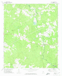
1972 · Jewell
USGS Topo · 1:24,000
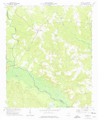
1972 · Mitchell
USGS Topo · 1:24,000