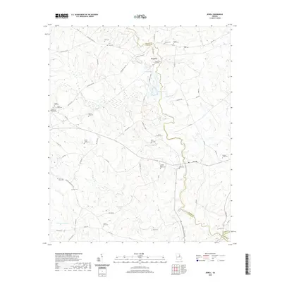
2020 Map of Jewell
USGS Topo · Published 2020About this map
The Ogeechee River carves a winding path through this corner of Middle Georgia, serving as the primary boundary between Warren and Hancock counties. The small settlement of Jewell anchors the east, while Mayfield is situated further north along the river's course. This area is remarkably dense with family-named landmarks and historical burial sites, reflecting a landscape defined by generational land ownership and rural communities.
Find a feature on this map
66 named features on this map. Tap any name to fly to it.
Don’t see what you’re looking for? This feature index may not catch every label — zoom into the map to look around manually.
Map Details
Editions of this 2020 Jewell Map
This is the sole edition of this map. No revisions or reprints were ever made.
Other maps of this area

1953 · Athens
USGS Topo · 1:250,000

1958 · Athens
USGS Topo · 1:250,000

1959 · Athens
USGS Topo · 1:250,000

1960 · Warthen NE
USGS Topo · 1:24,000

1961 · Warthen NW
USGS Topo · 1:24,000

1963 · Athens
USGS Topo · 1:250,000

1971 · Beall Springs
USGS Topo · 1:24,000

1972 · Sparta NW
USGS Topo · 1:24,000
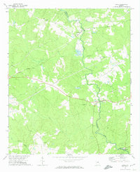
1972 · Jewell
USGS Topo · 1:24,000
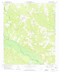
1972 · Mitchell
USGS Topo · 1:24,000