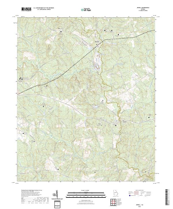
2024 Map of Jewell
USGS Topo · Published 2024About this map
The Ogeechee River and its tributary, Dry Creek, define this rural landscape on the border of Hancock and Warren counties. The settlement of Jewell sits at a crossing of the river, while Mayfield serves as a northern anchor near the Fish Hatchery. This area is notably dense with small family burial grounds and historical church sites, such as the Rock Mills Cem and the Shivers Family Cem, reflecting a long-standing pattern of dispersed agricultural homesteads.
Find a feature on this map
73 named features on this map. Tap any name to fly to it.
Don’t see what you’re looking for? This feature index may not catch every label — zoom into the map to look around manually.
Map Details
Editions of this 2024 Jewell Map
This is the sole edition of this map. No revisions or reprints were ever made.
Other maps of this area

1953 · Athens
USGS Topo · 1:250,000

1958 · Athens
USGS Topo · 1:250,000

1959 · Athens
USGS Topo · 1:250,000

1960 · Warthen NE
USGS Topo · 1:24,000

1961 · Warthen NW
USGS Topo · 1:24,000

1963 · Athens
USGS Topo · 1:250,000

1971 · Beall Springs
USGS Topo · 1:24,000

1972 · Sparta NW
USGS Topo · 1:24,000
1972 · Jewell
USGS Topo · 1:24,000
1972 · Mitchell
USGS Topo · 1:24,000