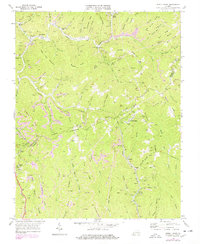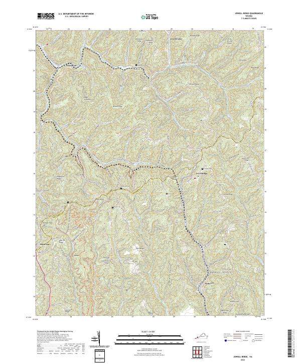
2022 Map of Jewell Ridge
USGS Topo · Published 2022About this map
Jewell Ridge and Whitewood anchor this mountainous section of the Appalachians, where the winding boundary between Buchanan Co and Tazewell Co follows the high ridgelines. The landscape is a dense network of named hollows and ridges, reflecting generations of upland settlement and resource extraction. Significant local genealogy is preserved in numerous family burial grounds tucked into the hills, including Rosa Cole Cem, Sawyer Cem, and Stevenson Cem. In the southeastern corner, the settlement of Seaboard lies near the headwaters of W Fork Big Cr. The terrain is defined by deep drainage systems like Dismal Creek and Jones Fork, with access provided by a complex web of mountain routes such as Brown Mountain Rd and Jewell Ridge Rd.
Find a feature on this map
105 named features on this map. Tap any name to fly to it.
Don’t see what you’re looking for? This feature index may not catch every label — zoom into the map to look around manually.
Map Details
Editions of this 2022 Jewell Ridge Map
This is the sole edition of this map. No revisions or reprints were ever made.