Loading...
Loading map...2021 Map of Johannesburg
USGS Topo · Published 2021About this map
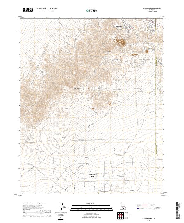
Randsburg and Johannesburg occupy the northern reaches of this High Desert landscape, situated near the dramatic elevation of Government Peak within the Rand Mountains. The area's deep mining legacy is reflected in the street names and infrastructure, including the Sunshine Mine Rd and Yellow Aster Rd, referencing the famous local gold operations. South of the mountains, the map transitions into the open Mojave Desert, where the planned grid of California City begins to take shape.
Find a feature on this map
65 named features on this map. Tap any name to fly to it.
Don’t see what you’re looking for? This feature index may not catch every label — zoom into the map to look around manually.
Map Details
Date Portrayed2021
Date Published2021
PublisherU.S. Geological Survey
Map TypeTopographic
Scale1:24000
Physical Dimensions24 x 29 inches
Editions of this 2021 Johannesburg Map
This is the sole edition of this map. No revisions or reprints were ever made.
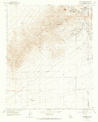
Historical Maps of California City Through Time
Featured Locations
Source Details
SourceU.S. Geological Survey
CopyrightPublic Domain