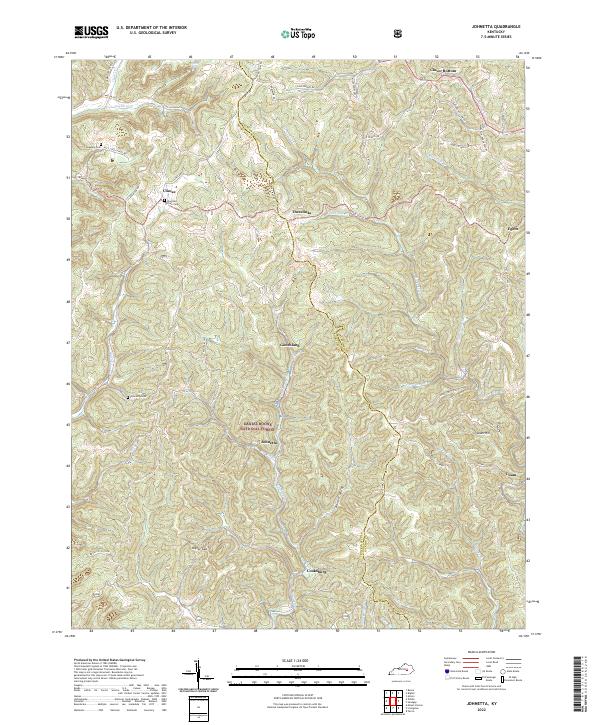
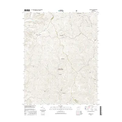
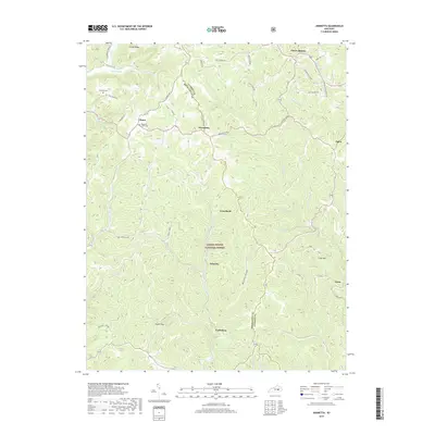
2022 Map of Johnetta
USGS Topo · Published 2022About this map
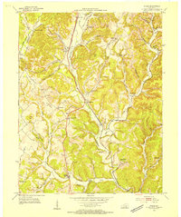
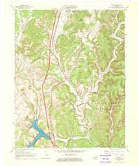
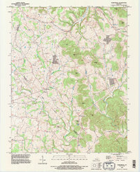
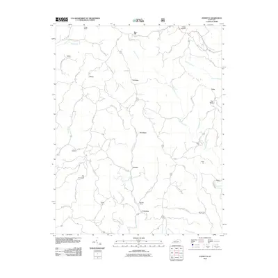
Daniel Boone National Forest encompasses the center of this terrain where the border of Jackson and Rockcastle counties winds through a network of creeks and ridges. The settlement pattern here is dictated by the drainage of Horse Lick Creek and its tributaries, including Limestone Branch and Sugar Cane Branch. Genealogists will find several burial grounds such as Johnetta Cemetery and the King and Clark Cemetery near the community of Climax. The map also preserves the locations of local crossroads and hamlets like Threelinks, Goochland, and Johnetta, along with the Johnson School. These named points illustrate a rural Kentucky landscape defined by small-scale agriculture and forest management, connected by winding routes like Three Links Road and Rice School Road.
Find a feature on this map
53 named features on this map. Tap any name to fly to it.
Don’t see what you’re looking for? This feature index may not catch every label — zoom into the map to look around manually.
Map Details
Editions of this 2022 Johnetta Map
This is the sole edition of this map. No revisions or reprints were ever made.
Historical Maps of Climax Through Time
26 maps found
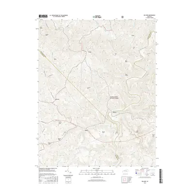
1952 Billows
Rockcastle County, KY
1953 Johnetta
Rockcastle County, KY
1953 Maretburg
Rockcastle County, KY
1953 Wildie
Rockcastle County, KY
1970 Wildie
Rockcastle County, KY
1993 Maretburg
Rockcastle County, KY
2010 Billows
Rockcastle County, KY
2010 Johnetta
Rockcastle County, KY
2010 Maretburg
Rockcastle County, KY
2010 Wildie
Rockcastle County, KY

2013 Billows
Rockcastle County, KY
2013 Johnetta
Rockcastle County, KY
2013 Maretburg
Rockcastle County, KY
2013 Wildie
Rockcastle County, KY
2016 Billows
Rockcastle County, KY
2016 Johnetta
Rockcastle County, KY
2016 Maretburg
Rockcastle County, KY
2016 Wildie
Rockcastle County, KY
2019 Billows
Rockcastle County, KY
2019 Johnetta
Rockcastle County, KY
2019 Maretburg
Rockcastle County, KY
2019 Wildie
Rockcastle County, KY

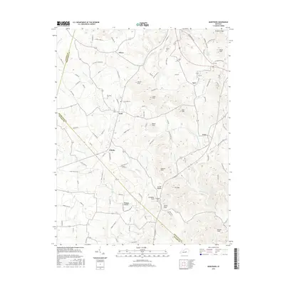
2022 Billows
Rockcastle County, KY
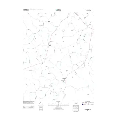
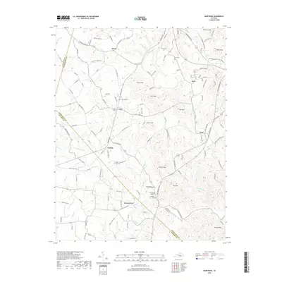
2022 Johnetta
Rockcastle County, KY
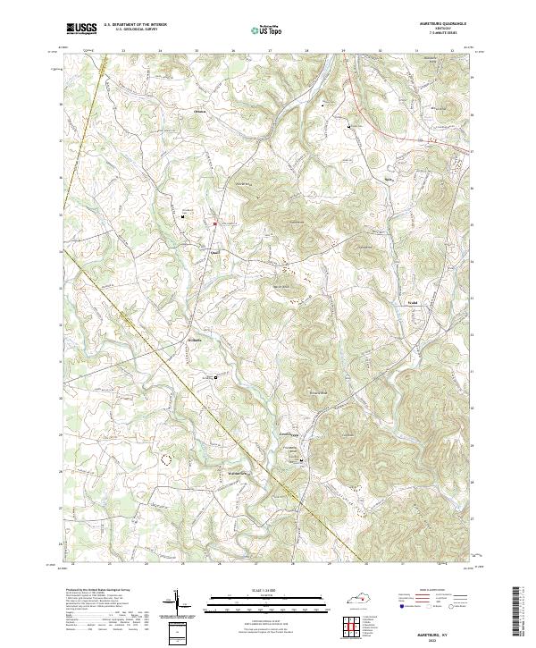
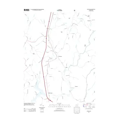
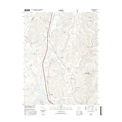
2022 Maretburg
Rockcastle County, KY
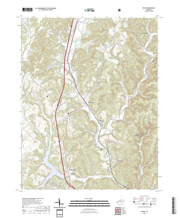
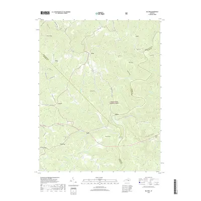
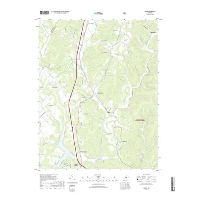
2022 Wildie
Rockcastle County, KY