Loading...
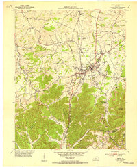
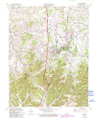
Loading map...1952 Map of Berea
USGS Topo · Published 1953About this map
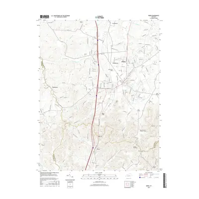
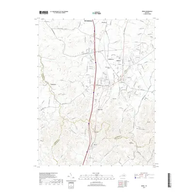
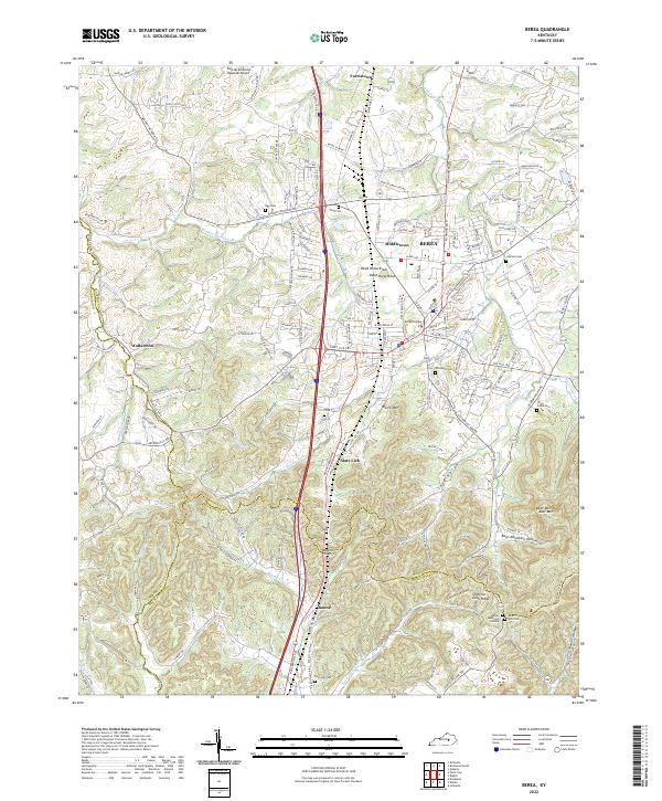
The campus of Berea College anchors this mid-century portrait of southern Madison County, where the bluegrass lowlands meet the rising topography of the Cumberland Plateau. The settlement of Berea is clearly defined by the Louisville and Nashville railroad corridor, which tracks south through the passage at Boone Gap. This transportation spine links the town with smaller outlying communities like Farristown and Middletown, each with its own local church and identity.
Find a feature on this map
50 named features on this map. Tap any name to fly to it.
Don’t see what you’re looking for? This feature index may not catch every label — zoom into the map to look around manually.
Map Details
Date Portrayed1952
Date Published1953
PublisherU.S. Geological Survey
Map TypeTopographic
Scale1:24,000
Physical Dimensions22.5 x 27.4 inches
Editions of this 1952 Berea Map
This is the sole edition of this map. No revisions or reprints were ever made.
Historical Maps of Richmond Through Time
7 maps found
Featured Locations
Source Details
SourceU.S. Geological Survey
CopyrightPublic Domain