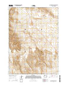
2014 Map of Johnny Creek Spring
USGS Topo · Published 2014About this map
The Saddle Butte Lava Field dominates the high desert landscape of Malheur County, where volcanic geography meets the drainage systems of the eastern Oregon interior. This 2014 survey documents the rugged intersection of the Sheepshead Mountains and Cone Ridge, a terrain defined by intermittent water sources vital to the region's ecology. Named water features like Johnny Creek Spring and the ephemeral Palomino Lake provide critical points of reference in an otherwise arid expanse. The map traces the course of Ryegrass Cr and its tributaries, including the N Fork Ryegrass Cr and S Fork Ryegrass Cr, while showing the thin ribbon of Or-78 as it cuts diagonally across the volcanic plains. This survey is a precise record of public land subdivisions and hydrographic features in a sparsely populated corner of the state.
Find a feature on this map
16 named features on this map. Tap any name to fly to it.
Don’t see what you’re looking for? This feature index may not catch every label — zoom into the map to look around manually.
Map Details
Editions of this 2014 Johnny Creek Spring Map
This is the sole edition of this map. No revisions or reprints were ever made.
Other maps of this area

1955 · Jordan Valley
USGS Topo · 1:250,000

1955 · Burns
USGS Topo · 1:250,000

1955 · Adel
USGS Topo · 1:250,000

1955 · Boise
USGS Topo · 1:250,000

1957 · Adel
USGS Topo · 1:250,000

1957 · Jordan Valley
USGS Topo · 1:250,000

1958 · Burns
USGS Topo · 1:250,000

1958 · Boise
USGS Topo · 1:250,000

1958 · Adel
USGS Topo · 1:250,000

1958 · Jordan Valley
USGS Topo · 1:250,000