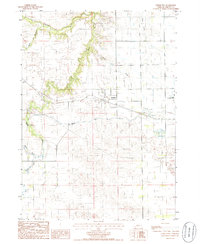
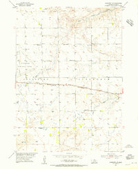
1985 Map of Johnstown
USGS Topo · Published 1986About this map
Johnstown serves as the central hub of this Nebraska Sandhills region during the mid-1980s, where the grid of sections meets the winding, deeply carved valleys of Plum Creek and Evergreen Creek. The landscape transition is stark, moving from the flat tablelands supporting the Ainsworth Municipal Airport to the intricate drainages of Coon Creek and Cedar Creek. This era of water management is evidenced by technical features such as a Canal and a specific Elevated Drain, illustrating the infrastructure required to support agriculture in Brown County. Further south, the terrain becomes more complex as the North Fork and South Fork begin to shape the geography. Local history is anchored by the small Cem located just east of the main settlement, providing a point of interest for genealogical research in this sparsely populated cattle country.
Find a feature on this map
17 named features on this map. Tap any name to fly to it.
Don’t see what you’re looking for? This feature index may not catch every label — zoom into the map to look around manually.
Map Details
Editions of this 1985 Johnstown Map
This is the sole edition of this map. No revisions or reprints were ever made.
Other maps of this area
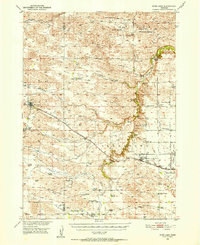
1950 · Wood Lake
USGS Topo · 1:62,500
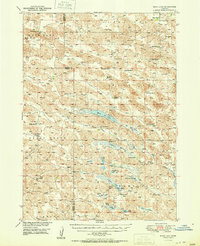
1951 · Moon Lake
USGS Topo · 1:62,500
1954 · Ainsworth NW
USGS Topo · 1:24,000
1954 · Ainsworth SW
USGS Topo · 1:24,000

1955 · O'Neill
USGS Topo · 1:250,000

1957 · Valentine
USGS Topo · 1:250,000

1959 · Valentine
USGS Topo · 1:250,000

1959 · O'Neill
USGS Topo · 1:250,000

1969 · O'Neill
USGS Topo · 1:250,000
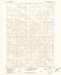
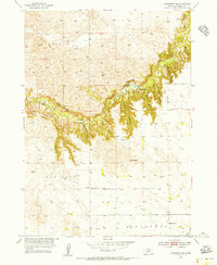
1982 · Lost Lake Ranch
USGS Topo · 1:24,000