
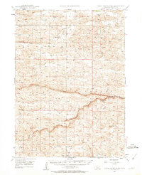
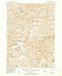
1959 Map of Valentine
USGS Topo · Published 1959About this map
The Sand Hills of northern Nebraska dominate this mid-century landscape, a region defined by extensive dune formations and an intricate network of river valleys. Along the northern tier, the Chicago and North Western railroad connects a string of small ranching communities including Merriman, Cody, and Nenzel. The town of Valentine sits near the confluence of Minnechaduza Creek and the Niobrara River, serving as a gateway to the Fort Niobrara National Wildlife Refuge.
Find a feature on this map
49 named features on this map. Tap any name to fly to it.
Don’t see what you’re looking for? This feature index may not catch every label — zoom into the map to look around manually.
Map Details
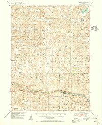
Editions of this 1959 Valentine Map
This is the sole edition of this map. No revisions or reprints were ever made.
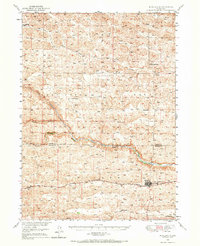
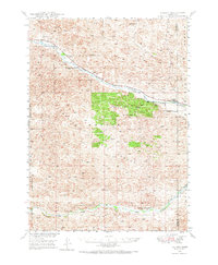
Other maps of this area
1947 · Dismal River Ranch
USGS Topo · 1:62,500
1948 · Seneca
USGS Topo · 1:62,500
1948 · Ashby
USGS Topo · 1:62,500
1948 · Bingham
USGS Topo · 1:62,500

1948 · Thedford
USGS Topo · 1:62,500
1948 · Carr Lake
USGS Topo · 1:62,500
1948 · Mullen
USGS Topo · 1:62,500
1948 · Halsey
USGS Topo · 1:62,500

1948 · Seneca 4
USGS Topo · 1:62,500

1948 · Spade Ranch
USGS Topo · 1:62,500