
1948 Map of Ashby
USGS Topo · Published 1960About this map
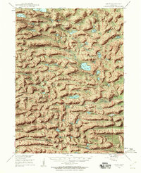
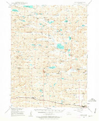
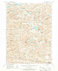
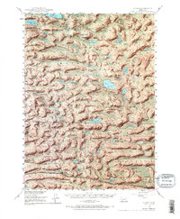
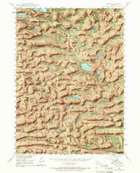
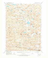
Large cattle ranches and a complex network of freshwater basins define this 1948 survey of the Nebraska Sandhills. The landscape is dominated by family-named operations like the Becker Ranch, Diamond Bar Ranch, and Keller Ranch, reflecting the region's deep roots in the ranching industry. Central to the geography are numerous named water bodies, including the expansive Mother Lake and Alkali Lake, which sit amidst depressions like Hospital Valley and Brown Valley.
Find a feature on this map
54 named features on this map. Tap any name to fly to it.
Don’t see what you’re looking for? This feature index may not catch every label — zoom into the map to look around manually.
Map Details
Editions of this 1948 Ashby Map
7 editions found
Other maps of this area

1948 · Bingham
USGS Topo · 1:62,500

1948 · Spade Ranch
USGS Topo · 1:62,500

1948 · George Lake
USGS Topo · 1:62,500

1948 · Whitman
USGS Topo · 1:62,500

1948 · Spring Valley
USGS Topo · 1:62,500

1949 · Ashby
USGS Topo · 1:62,500

1949 · Steverson Lake
USGS Topo · 1:62,500

1949 · Turpin Lake
USGS Topo · 1:62,500

1950 · Spring Valley
USGS Topo · 1:62,500

1950 · Whitman
USGS Topo · 1:62,500