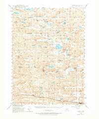
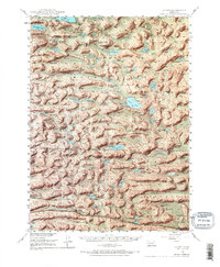
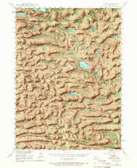
1948 Map of Ashby
USGS Topo · Published 1973About this map
The vast cattle country of the Nebraska Sandhills is documented here just after World War II, revealing a landscape defined by isolated ranching operations and natural alkaline basins. Large family holdings like the Diamond Bar Ranch and Castle Ranch are centers of activity, often situated near vital water sources such as Mother Lake and Castle Lake. The area's commitment to education in this sparsely populated region is evident through the presence of rural schoolhouses, including the Ferguson-Becker Sch and the central Consolidated Sch.
Find a feature on this map
49 named features on this map. Tap any name to fly to it.
Don’t see what you’re looking for? This feature index may not catch every label — zoom into the map to look around manually.
Map Details
Editions of this 1948 Ashby Map
7 editions found
Other maps of this area

1948 · Ashby
USGS Topo · 1:62,500

1948 · Bingham
USGS Topo · 1:62,500

1948 · Spade Ranch
USGS Topo · 1:62,500

1948 · George Lake
USGS Topo · 1:62,500

1948 · Whitman
USGS Topo · 1:62,500

1948 · Spring Valley
USGS Topo · 1:62,500

1949 · Ashby
USGS Topo · 1:62,500

1949 · Steverson Lake
USGS Topo · 1:62,500

1949 · Turpin Lake
USGS Topo · 1:62,500

1950 · Spring Valley
USGS Topo · 1:62,500