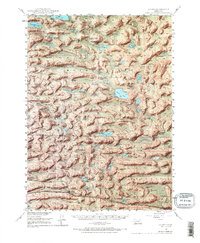
1948 Map of Ashby
USGS Topo · Published 1966About this map
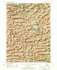
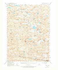
Ashby anchors the southern portion of this Nebraska Sandhills region, where the Chicago Burlington and Quincy railroad line provides the primary connection for a landscape dominated by extensive cattle ranching operations. Numerous family-named homesteads, including the JHL Ranch, Beem Ranch, and Sterns Ranch, are scattered across a terrain of high dunes and low-lying valleys. The presence of a Hospital and a Consolidated Sch suggests a centralized community hub serving the remote ranching families during the mid-20th century.
Find a feature on this map
44 named features on this map. Tap any name to fly to it.
Don’t see what you’re looking for? This feature index may not catch every label — zoom into the map to look around manually.
Map Details
Editions of this 1948 Ashby Map
7 editions found
Other maps of this area

1948 · Ashby
USGS Topo · 1:62,500

1948 · Bingham
USGS Topo · 1:62,500

1948 · Spade Ranch
USGS Topo · 1:62,500

1948 · George Lake
USGS Topo · 1:62,500

1948 · Whitman
USGS Topo · 1:62,500

1948 · Spring Valley
USGS Topo · 1:62,500

1949 · Ashby
USGS Topo · 1:62,500

1949 · Steverson Lake
USGS Topo · 1:62,500

1949 · Turpin Lake
USGS Topo · 1:62,500

1950 · Spring Valley
USGS Topo · 1:62,500