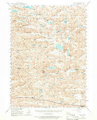
1948 Map of Ashby
USGS Topo · Published 1966About this map
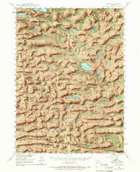
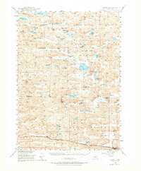
Sandhills cattle ranching and remote Nebraska rail life are the focus of this mid-century survey. The settlement of Ashby sits along the southern edge of the map, serving as a critical junction for the Chicago Burlington and Quincy RR. The surrounding landscape is defined by vast valleys and alkaline basins, such as Hospital Valley and Camp Valley, which are dotted with dozens of family-run operations including the JHL Ranch, Diamond Bar Ranch, and Westover Ranch.
Find a feature on this map
48 named features on this map. Tap any name to fly to it.
Don’t see what you’re looking for? This feature index may not catch every label — zoom into the map to look around manually.
Map Details
Editions of this 1948 Ashby Map
7 editions found
Other maps of this area

1948 · Ashby
USGS Topo · 1:62,500

1948 · Bingham
USGS Topo · 1:62,500

1948 · Spade Ranch
USGS Topo · 1:62,500

1948 · George Lake
USGS Topo · 1:62,500

1948 · Whitman
USGS Topo · 1:62,500

1948 · Spring Valley
USGS Topo · 1:62,500

1949 · Ashby
USGS Topo · 1:62,500

1949 · Steverson Lake
USGS Topo · 1:62,500

1949 · Turpin Lake
USGS Topo · 1:62,500

1950 · Spring Valley
USGS Topo · 1:62,500