Loading...
Loading map...2024 Map of Jonesboro
USGS Topo · Published 2024About this map
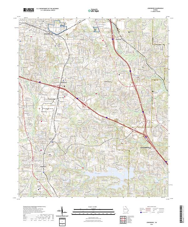
Jonesboro and the surrounding suburban landscape of Clayton County are shown here, anchored by a dense network of residential development and commercial corridors like Tara Blvd. The area is historically defined by the Norfolk Southern rail line, which runs north through Morrow, Lake City, and Forest Park. This modern survey illustrates the proximity of civic and educational institutions, including Clayton State University and the HR Banke Justice Center.
Find a feature on this map
68 named features on this map. Tap any name to fly to it.
Don’t see what you’re looking for? This feature index may not catch every label — zoom into the map to look around manually.
Map Details
Date Portrayed2024
Date Published2024
PublisherU.S. Geological Survey
Map TypeTopographic
Scale1:24000
Physical Dimensions24 x 29 inches
Editions of this 2024 Jonesboro Map
This is the sole edition of this map. No revisions or reprints were ever made.
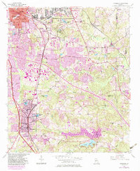
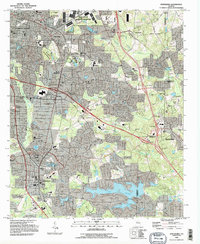
Historical Maps of Ellenwood Through Time
3 maps found
Featured Locations
Source Details
SourceU.S. Geological Survey
CopyrightPublic Domain