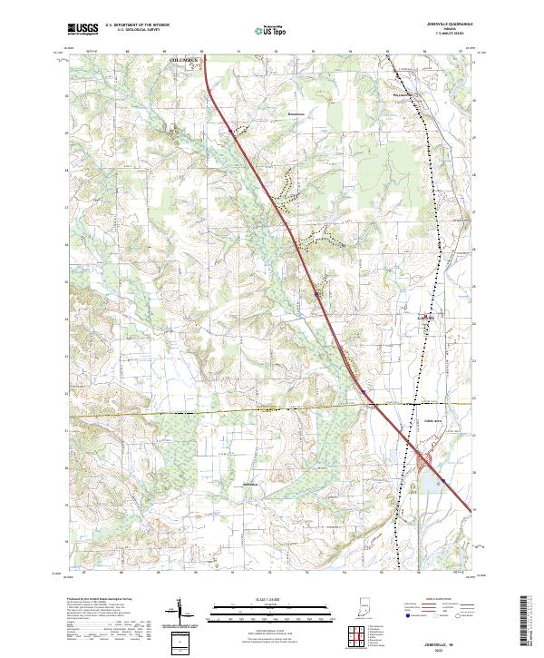
2022 Map of Jonesville
USGS Topo · Published 2022About this map
Jonesville and the surrounding townships in southern Indiana are defined by the winding course of the East Fork White River and its intricate drainage network. This area, spanning the border of Bartholomew and Jackson counties, features a series of small, long-established settlements including Waynesville, Rosstown, and the small residential cluster of Little Acre. The landscape is a complex of wetlands and water bodies, most notably the Thompson Slough and various lakes such as Thompsons Lake and Lake Barbara, which indicate a low-lying floodplain environment. A dense grid of county roads, such as S Jonesville Rd and W 700 S, connects these rural communities to the southern outskirts of Columbus. The terrain is mostly level, occasionally interrupted by features like Wrights Hill to the east, illustrating the typical agricultural and hydrologic patterns of the region.
Find a feature on this map
67 named features on this map. Tap any name to fly to it.
Don’t see what you’re looking for? This feature index may not catch every label — zoom into the map to look around manually.
Map Details
Editions of this 2022 Jonesville Map
This is the sole edition of this map. No revisions or reprints were ever made.
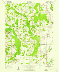
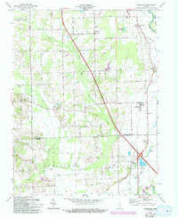
Historical Maps of Rosstown Through Time
3 maps found