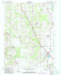
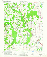
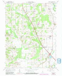
1962 Map of Jonesville
USGS Topo · Published 1993About this map
The East Fork White River and Sand Creek converge in this corner of south-central Indiana, defining a landscape of fertile bottomlands and small agricultural centers. The Penn Central rail line cuts a straight north-south path through the territory, passing through Jonesville and near the rail-stop identified as Peters Switch. Settlement is concentrated in small nodes like Waynesville, Rosstown, and Little Acre, while rural life is anchored by local institutions such as Walker Chapel, St Johns Ch, and the White Creek Sch.
Find a feature on this map
36 named features on this map. Tap any name to fly to it.
Don’t see what you’re looking for? This feature index may not catch every label — zoom into the map to look around manually.
Map Details
Editions of this 1962 Jonesville Map
5 editions found
Other maps of this area

1942 · Franklin
USGS Topo · 1:125,000

1942 · Columbus
USGS Topo · 1:125,000

1948 · New Bellsville
USGS Topo · 1:24,000

1948 · Waymansville
USGS Topo · 1:24,000

1953 · Cincinnati
USGS Topo · 1:250,000

1953 · Indianapolis
USGS Topo · 1:250,000

1956 · Indianapolis
USGS Topo · 1:250,000

1956 · Vincennes
USGS Topo · 1:250,000

1956 · Louisville
USGS Topo · 1:250,000

1957 · Indianapolis
USGS Topo · 1:250,000