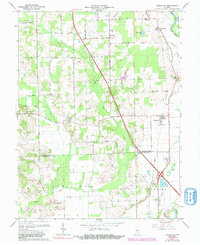
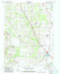
1962 Map of Jonesville
USGS Topo · Published 1991About this map
Jonesville and Waynesville anchor this mid-century look at the southern border of Bartholomew County, where the landscape is defined by the winding course of the East Fork White River. The map captures a rural Indiana transition where agricultural life meets growing transportation corridors like Conrail and the modern highway system. Local history is deeply embedded in the distribution of family and community landmarks, from St Johns Ch and Walker Chapel to the White Creek Sch Cem.
Find a feature on this map
38 named features on this map. Tap any name to fly to it.
Don’t see what you’re looking for? This feature index may not catch every label — zoom into the map to look around manually.
Map Details
Editions of this 1962 Jonesville Map
5 editions found
Other maps of this area

1942 · Franklin
USGS Topo · 1:125,000

1942 · Columbus
USGS Topo · 1:125,000

1948 · New Bellsville
USGS Topo · 1:24,000

1948 · Waymansville
USGS Topo · 1:24,000

1953 · Cincinnati
USGS Topo · 1:250,000

1953 · Indianapolis
USGS Topo · 1:250,000

1956 · Indianapolis
USGS Topo · 1:250,000

1956 · Vincennes
USGS Topo · 1:250,000

1956 · Louisville
USGS Topo · 1:250,000

1957 · Indianapolis
USGS Topo · 1:250,000