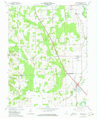
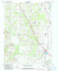
1962 Map of Jonesville
USGS Topo · Published 1965About this map
White River and its varied tributaries, including Sand Creek and the East Fork White River, anchor this rural Indiana landscape at the confluence of Bartholomew and Jackson Counties. The 1962 survey documents a transition in local infrastructure, where traditional gathering places like Walker Chapel and St Johns Ch remain central to the dispersed community. Small settlements such as Waynesville, Rosstown, and Jonesville are interspersed with specialized locations like Peters Switch, a waypoint along the Pennsylvania railroad line. The map reveals a structured grid of rural roads, including 850 South Road and 950 South Road, that connect family farms to local education centers like White Creek Sch and Township Sch. To the south, Peters Lake and the residential clusters at Little Acre and Bobtown indicate the localized development patterns emerging near the river forks.
Find a feature on this map
37 named features on this map. Tap any name to fly to it.
Don’t see what you’re looking for? This feature index may not catch every label — zoom into the map to look around manually.
Map Details
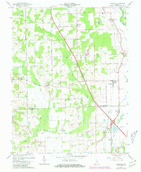
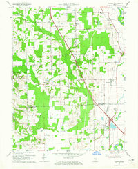
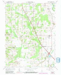
Editions of this 1962 Jonesville Map
5 editions found
Other maps of this area

1942 · Franklin
USGS Topo · 1:125,000

1942 · Columbus
USGS Topo · 1:125,000

1948 · New Bellsville
USGS Topo · 1:24,000

1948 · Waymansville
USGS Topo · 1:24,000

1953 · Cincinnati
USGS Topo · 1:250,000

1953 · Indianapolis
USGS Topo · 1:250,000

1956 · Indianapolis
USGS Topo · 1:250,000

1956 · Vincennes
USGS Topo · 1:250,000

1956 · Louisville
USGS Topo · 1:250,000

1957 · Indianapolis
USGS Topo · 1:250,000