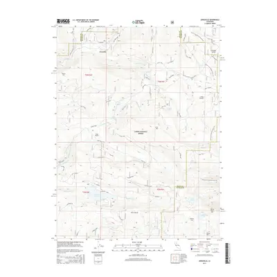
2015 Map of Jonesville
USGS Topo · Published 2015About this map
Jonesville remains a central settlement in this high-elevation landscape within the Lassen National Forest. The area is characterized by a complex network of forest roads and trails, including the Pacific Crest National Scenic Trail as it winds north toward Humbug Summit. Significant water features dominate the southern half of the quadrangle, notably Philbrook Reservoir and several alpine lakes such as Lotts Lake, Summit Lake, and Snag Lake. The terrain is marked by prominent peaks and ravines, from Snow Mtn to the depths of Brown Ravine, reflecting a region historically tied to timber management and outdoor recreation. Local landmarks like Coon Hollow and Henrys Flat indicate the small-scale meadows and clearings that dot the timbered slopes near the West Branch Feather River.
Find a feature on this map
74 named features on this map. Tap any name to fly to it.
Don’t see what you’re looking for? This feature index may not catch every label — zoom into the map to look around manually.
Map Details
Editions of this 2015 Jonesville Map
This is the sole edition of this map. No revisions or reprints were ever made.
Other maps of this area

1886 · Lassen Peak
USGS Topo · 1:250,000

1888 · Bidwell Bar
USGS Topo · 1:125,000

1891 · Bidwell Bar
USGS Topo · 1:125,000

1891 · Chico
USGS Topo · 1:125,000

1892 · Lassen Peak
USGS Topo · 1:250,000

1893 · Chico
USGS Topo · 1:125,000

1893 · Bidwell Bar
USGS Topo · 1:125,000

1894 · Lassen Peak
USGS Topo · 1:250,000

1895 · Bidwell Bar
USGS Topo · 1:125,000

1895 · Chico
USGS Topo · 1:125,000