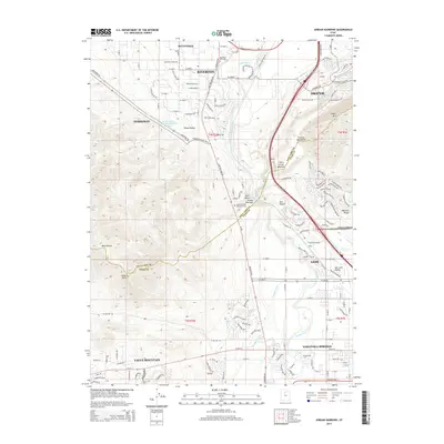
2014 Map of Jordan Narrows
USGS Topo · Published 2014About this map
The Jordan River carves a critical path through the Jordan Narrows, a geologically significant gap between the Traverse Mountains and the northern reaches of Lehi. This 2014 survey captures a period of intense suburban expansion across the Salt Lake and Utah County lines, where the planned communities of Eagle Mountain, Saratoga Springs, and Herriman meet the established foundations of Bluffdale and Riverton. The landscape is a study in water management, featuring the Jordan Valley Water Purification Reservoir and a network of historic irrigation routes like the Gardner Canal, Saratoga Canal, and Fox Ditch.
Find a feature on this map
122 named features on this map. Tap any name to fly to it.
Don’t see what you’re looking for? This feature index may not catch every label — zoom into the map to look around manually.
Map Details
Editions of this 2014 Jordan Narrows Map
This is the sole edition of this map. No revisions or reprints were ever made.
Other maps of this area

1885 · Salt Lake
USGS Topo · 1:250,000

1885 · Tooele Valley
USGS Topo · 1:250,000

1915 · Fairfield
USGS Topo · 1:62,500

1917 · Fairfield
USGS Topo · 1:62,500

1925 · Ft. Douglas
USGS Topo · 1:125,000

1928 · Ft. Douglas
USGS Topo · 1:125,000

1950 · Pelican Point
USGS Topo · 1:24,000
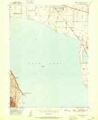
1951 · Pelican Point
USGS Topo · 1:24,000

1951 · Jordan Narrows
USGS Topo · 1:24,000
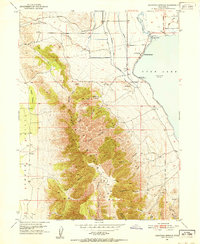
1951 · Saratoga Springs
USGS Topo · 1:24,000