
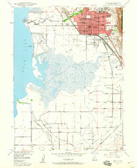
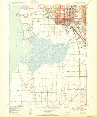
1951 Map of Pelican Point
USGS Topo · Published 1951About this map
American Fork and the rural community of Wing anchor the northern shore of Utah Lake in this mid-century topographic record. The landscape is defined by the convergence of major rail lines, including the Union Pacific and the Denver and Rio Grande Western, which served the region's industrial and agricultural transport needs. Along the western coastline, the topography rises toward Jumbers Pt and Pelican Point, where specialized industrial activity is evidenced by the Calcite Quarry and a lakeside Pumping Sta.
Find a feature on this map
14 named features on this map. Tap any name to fly to it.
Don’t see what you’re looking for? This feature index may not catch every label — zoom into the map to look around manually.
Map Details
Editions of this 1951 Pelican Point Map
This is the sole edition of this map. No revisions or reprints were ever made.
Other maps of this area

1885 · Salt Lake
USGS Topo · 1:250,000
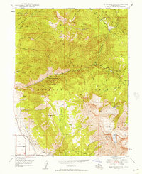
1948 · Timpanogos Cave
USGS Topo · 1:24,000
1948 · Orem
USGS Topo · 1:24,000

1948 · Orem
USGS Topo · 1:62,500
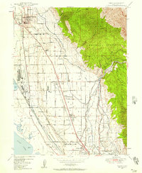
1948 · Provo
USGS Topo · 1:24,000

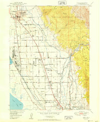
1949 · Provo
USGS Topo · 1:62,500
1950 · Orem
USGS Topo · 1:24,000

1950 · Timpanogos Cave
USGS Topo · 1:24,000
1950 · Provo
USGS Topo · 1:24,000
1950 · Soldiers Pass
USGS Topo · 1:24,000