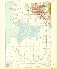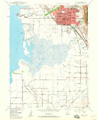
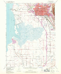
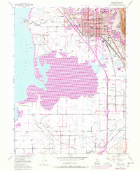
1948 Map of Provo
USGS Topo · Published 1960About this map
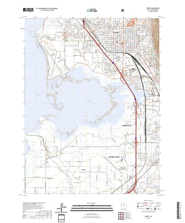
The city of Provo serves as a dense educational and institutional hub in this mid-century survey, anchored by the dual campuses of Brigham Young University (Upper Campus) and Brigham Young University (Lower Campus). The urban grid is heavily defined by civic and medical infrastructure, from the Courthouse and City Cemetery to the sprawling grounds of the State Mental Hospital at the base of the mountains. Transportation networks dominate the valley floor, where the Denver & Rio Grande Western and Union Pacific railroads parallel the shoreline of Utah Lake.
Find a feature on this map
38 named features on this map. Tap any name to fly to it.
Don’t see what you’re looking for? This feature index may not catch every label — zoom into the map to look around manually.
Map Details
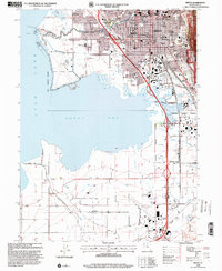
Editions of this 1948 Provo Map
3 editions found
Historical Maps of Provo Through Time
11 maps found