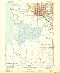
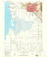
1950 Map of Provo
USGS Topo · Published 1950About this map
Provo serves as the focal point of this mid-century survey, revealing a landscape defined by the convergence of industrial progress and educational growth. The city core is dense with civic and social infrastructure, from the B. Y. U. (Upper Campus) and B. Y. U. (Lower Campus) to the State Mental Hospital and the Courthouse on Center St. The eastern edge is bordered by the Uinta National Forest, where the terrain rises sharply toward Slide Can.
Find a feature on this map
41 named features on this map. Tap any name to fly to it.
Don’t see what you’re looking for? This feature index may not catch every label — zoom into the map to look around manually.
Map Details
Editions of this 1950 Provo Map
This is the sole edition of this map. No revisions or reprints were ever made.
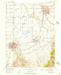
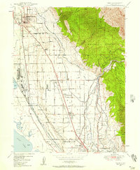
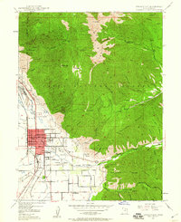
Other maps of this area

1885 · Salt Lake
USGS Topo · 1:250,000
1948 · Spanish Fork
USGS Topo · 1:24,000
1948 · Orem
USGS Topo · 1:24,000

1948 · Orem
USGS Topo · 1:62,500
1948 · Springville
USGS Topo · 1:24,000
1948 · Provo
USGS Topo · 1:24,000
1948 · Bridal Veil Falls
USGS Topo · 1:24,000

1949 · Provo
USGS Topo · 1:62,500
1949 · Spanish Fork Peak
USGS Topo · 1:24,000
1950 · Orem
USGS Topo · 1:24,000