1950 Map of Orem
USGS Topo · Published 1950About this map
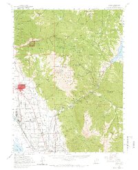
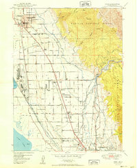
Geneva Steel Plant dominates the industrial landscape along the eastern shore of Utah Lake, reflecting the massive infrastructure required for mid-century steel production. The map captures a sophisticated irrigation and water management network including the Murdock Canal, the Salt Lake City Aqueduct, and several local ditches like the Union Canal, which fueled the agricultural growth of the Bench area. Settlements like Orem and Pleasant Grove are shown with their early mid-century street grids and essential community hubs, including Lincoln High Sch and Spencer School. The transition from the developed valley floor to the steep slopes of the Wasatch Range is sharp, with landmarks such as Big Baldy and the hydroelectric site at Olmsted marking the wilder eastern boundary of the quadrangle.
Find a feature on this map
73 named features on this map. Tap any name to fly to it.
Don’t see what you’re looking for? This feature index may not catch every label — zoom into the map to look around manually.
Map Details
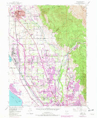
Editions of this 1950 Orem Map
This is the sole edition of this map. No revisions or reprints were ever made.
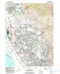
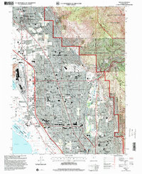
Historical Maps of Provo Through Time
6 maps found