
1949 Map of Spanish Fork Peak
USGS Topo · Published 1960About this map
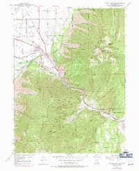
The Denver and Rio Grande Western Railway corridor serves as the industrial spine of this mid-century landscape, threading through the narrow canyon where the Spanish Fork river meets the irrigation infrastructure of the High Line Canal and South Salem Canal. Near the small settlement of Gomex, several specialized industrial features are mapped, including a Powder Plant, a Siphon, and a Flume, illustrating the complex management of water and explosives production in the region.
Find a feature on this map
60 named features on this map. Tap any name to fly to it.
Don’t see what you’re looking for? This feature index may not catch every label — zoom into the map to look around manually.
Map Details
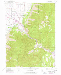
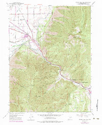
Editions of this 1949 Spanish Fork Peak Map
4 editions found
Other maps of this area

1885 · Salt Lake
USGS Topo · 1:250,000

1885 · Manti
USGS Topo · 1:250,000

1895 · Manti
USGS Topo · 1:250,000

1907 · Strawberry Valley
USGS Topo · 1:125,000

1909 · Strawberry Valley
USGS Topo · 1:125,000

1948 · Spanish Fork
USGS Topo · 1:24,000

1948 · Springville
USGS Topo · 1:24,000

1948 · Provo
USGS Topo · 1:24,000

1949 · Provo
USGS Topo · 1:62,500

1950 · Provo
USGS Topo · 1:24,000