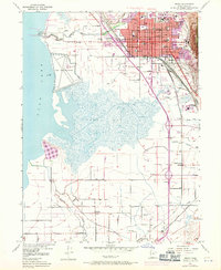
1948 Map of Provo
USGS Topo · Published 1971About this map
The city of Provo sits at the base of the mountains, defined by its relationship to the water and the rising educational importance of Brigham Young Univ. This 1948 survey, updated with 1969 data, shows a landscape caught between its agricultural roots and mid-century urban expansion. The grid of the city, centered on Center St, is anchored by numerous neighborhood schools like Timpanogos Sch and Dixon Jr High Sch.
Find a feature on this map
41 named features on this map. Tap any name to fly to it.
Don’t see what you’re looking for? This feature index may not catch every label — zoom into the map to look around manually.
Map Details
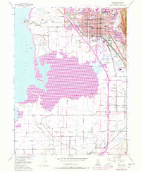
Editions of this 1948 Provo Map
3 editions found
Other maps of this area

1885 · Salt Lake
USGS Topo · 1:250,000

1948 · Spanish Fork
USGS Topo · 1:24,000

1948 · Orem
USGS Topo · 1:24,000

1948 · Orem
USGS Topo · 1:62,500

1948 · Springville
USGS Topo · 1:24,000

1948 · Provo
USGS Topo · 1:24,000

1948 · Bridal Veil Falls
USGS Topo · 1:24,000

1949 · Provo
USGS Topo · 1:62,500

1949 · Spanish Fork Peak
USGS Topo · 1:24,000

1950 · Orem
USGS Topo · 1:24,000