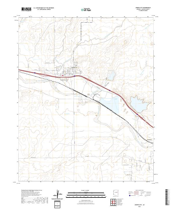
2021 Map of Joseph City
USGS Topo · Published 2021About this map
Joseph City serves as the central hub of this Navajo County landscape, situated along the perennial path of the Little Colorado River. The town's grid is clearly defined by historical thoroughfares like Main ST, Bushman Ave, and Tanner Ave, while the nearby Joseph City Cem provides a focal point for genealogical interest. The surrounding high desert terrain is carved by numerous ephemeral drainages, including Manila Wash, Joseph City Wash, and Mesa Wash, which converge toward the river valley.
Find a feature on this map
42 named features on this map. Tap any name to fly to it.
Don’t see what you’re looking for? This feature index may not catch every label — zoom into the map to look around manually.
Map Details
Editions of this 2021 Joseph City Map
This is the sole edition of this map. No revisions or reprints were ever made.
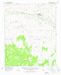
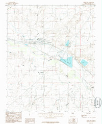
Historical Maps of Penzance Through Time
3 maps found