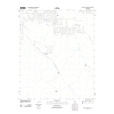
2012 Map of Joshua Tree South
USGS Topo · Published 2012About this map
Joshua Tree sits at the northern edge of this high desert terrain, where a developing grid of roads meets the preserved wilderness of Joshua Tree National Park. The landscape is defined by its transition from the residential pockets of Nolina Cove into the vast open spaces of Lower Covington Flat and Upper Covington Flat. Water sources, critical to life in this arid environment, are specifically marked at Covington Spring and Quail Springs, while the seasonal path of Quail Wash snakes through the eastern section of the quadrangle. Topographic details reveal the steep descent into Smith Water Canyon, providing a clear picture of the area's elevation changes and natural drainage patterns. The road network includes descriptive local thoroughfares such as Wagon Wheel Rd, Doggie Trl, and Skyline Dr, which bridge the gap between the desert community and the park boundary.
Find a feature on this map
44 named features on this map. Tap any name to fly to it.
Don’t see what you’re looking for? This feature index may not catch every label — zoom into the map to look around manually.
Map Details
Editions of this 2012 Joshua Tree South Map
This is the sole edition of this map. No revisions or reprints were ever made.
Other maps of this area

1941 · Edom
USGS Topo · 1:62,500

1944 · Edom
USGS Topo · 1:62,500

1944 · Pinyon Well
USGS Topo · 1:62,500

1947 · Santa Ana
USGS Topo · 1:250,000

1949 · Santa Ana
USGS Topo · 1:250,000

1953 · San Bernardino
USGS Topo · 1:250,000

1955 · Twentynine Palms
USGS Topo · 1:62,500

1955 · Joshua Tree
USGS Topo · 1:62,500

1956 · San Bernardino
USGS Topo · 1:250,000

1956 · Santa Ana
USGS Topo · 1:250,000