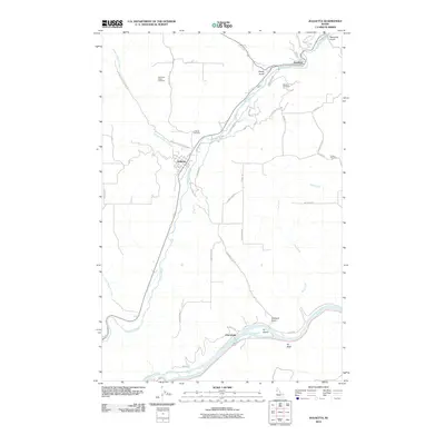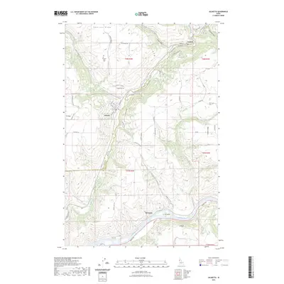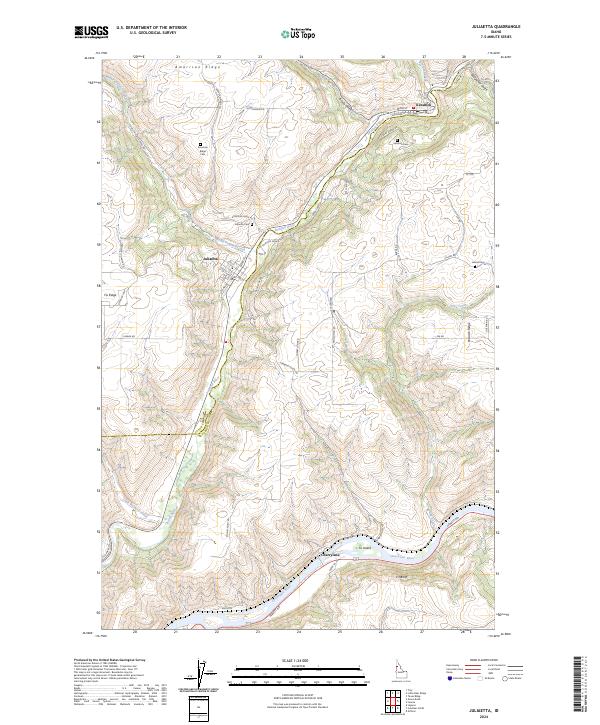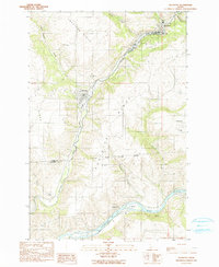
1990 Map of Juliaetta
USGS Topo · Published 1990About this map
Juliaetta and Kendrick sit as the primary hubs of activity along the winding Potlatch River canyon, marking a landscape defined by dramatic elevation changes between high agricultural plateaus and deep river valleys. The 1990 survey captures the area’s complex topography, where the Nez Perce Indian Reservation Boundary cuts across the southern half of the quadrangle. High ground like American Ridge and Potlatch Ridge is dotted with small family-interest sites including American Ridge Cem and Leland Cem.
Find a feature on this map
24 named features on this map. Tap any name to fly to it.
Don’t see what you’re looking for? This feature index may not catch every label — zoom into the map to look around manually.
Map Details
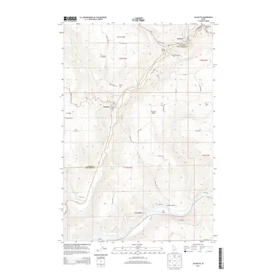
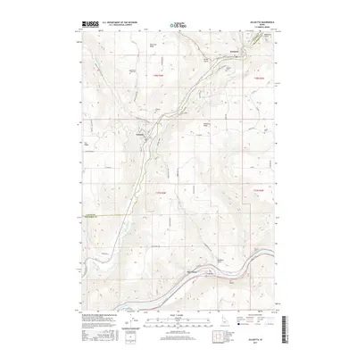
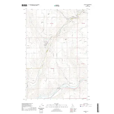
Editions of this 1990 Juliaetta Map
This is the sole edition of this map. No revisions or reprints were ever made.
Historical Maps of Juliaetta Through Time
7 maps found