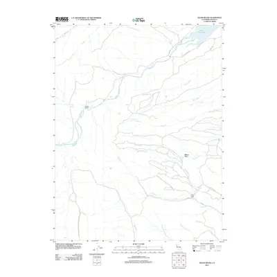
2012 Map of Julian Rocks
USGS Topo · Published 2012About this map
Stony Cr defines the northern reaches of this Glenn County landscape, winding through a complex system of drainage basins that include Hambright Cr and French Cr. The terrain is characterized by numerous seasonal waterways and named landmarks like Julian Rocks, which gives the quadrangle its name. Human presence is concentrated around established locations such as Wilson Place and Stone Valley Ranch, suggesting a history of ranching and remote settlement in this part of Northern California.
Find a feature on this map
22 named features on this map. Tap any name to fly to it.
Don’t see what you’re looking for? This feature index may not catch every label — zoom into the map to look around manually.
Map Details
Editions of this 2012 Julian Rocks Map
This is the sole edition of this map. No revisions or reprints were ever made.
Other maps of this area

1904 · Walker Creek
USGS Topo · 1:31,680

1917 · Kurand
USGS Topo · 1:31,680

1919 · Fruto
USGS Topo · 1:62,500

1919 · Elk Creek
USGS Topo · 1:62,500

1944 · Fruto
USGS Topo · 1:62,500

1944 · Flournoy
USGS Topo · 1:62,500

1948 · Elk Creek
USGS Topo · 1:62,500
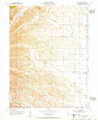
1952 · Fruto NE
USGS Topo · 1:24,000
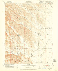
1952 · Kurand
USGS Topo · 1:24,000

1952 · Paskenta
USGS Topo · 1:62,500