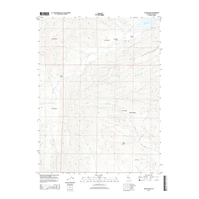
2015 Map of Julian Rocks
USGS Topo · Published 2015About this map
Stony Creek cuts a wide path through the eastern foothills of the Coast Range, where the terrain begins its descent toward the Sacramento Valley floor. In this 2015 survey of Glenn County, the landscape is defined by its drainage systems and small valleys, including Stone Valley and the geographic depression of Salt Gulch. The map records localized features like Julian Rocks and the namesake Wilson Place, which offer reference points in a region largely dominated by cattle grazing and water management.
Find a feature on this map
26 named features on this map. Tap any name to fly to it.
Don’t see what you’re looking for? This feature index may not catch every label — zoom into the map to look around manually.
Map Details
Editions of this 2015 Julian Rocks Map
This is the sole edition of this map. No revisions or reprints were ever made.
Other maps of this area

1904 · Walker Creek
USGS Topo · 1:31,680

1917 · Kurand
USGS Topo · 1:31,680

1919 · Fruto
USGS Topo · 1:62,500

1919 · Elk Creek
USGS Topo · 1:62,500

1944 · Fruto
USGS Topo · 1:62,500

1944 · Flournoy
USGS Topo · 1:62,500

1948 · Elk Creek
USGS Topo · 1:62,500
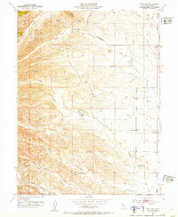
1952 · Fruto NE
USGS Topo · 1:24,000
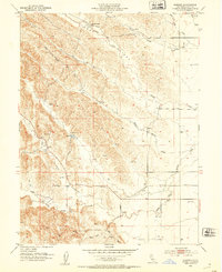
1952 · Kurand
USGS Topo · 1:24,000

1952 · Paskenta
USGS Topo · 1:62,500