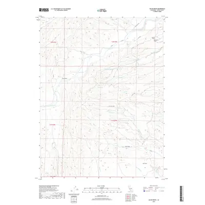
2018 Map of Julian Rocks
USGS Topo · Published 2018About this map
Stony Creek and its many tributaries, including Hambright Creek and French Cr, define the complex drainage system along the western edge of the Sacramento Valley. This landscape is marked by the eponymous Julian Rocks and the secluded Stone Valley, illustrating the transition from the valley floor into more relief-heavy terrain. The map details a network of rural routes such as RD 305 and Black Butte Rd, providing access to water sources like Harmes Spring and seasonal drainages such as Sheep Corral Cr and White Cabin Cr. This 2018 survey reveals a territory primarily organized by natural geography and traditional land divisions, offering a clear view of the hydrological patterns that have historically shaped land use and access in this part of Glenn County.
Find a feature on this map
31 named features on this map. Tap any name to fly to it.
Don’t see what you’re looking for? This feature index may not catch every label — zoom into the map to look around manually.
Map Details
Editions of this 2018 Julian Rocks Map
This is the sole edition of this map. No revisions or reprints were ever made.
Other maps of this area

1904 · Walker Creek
USGS Topo · 1:31,680

1917 · Kurand
USGS Topo · 1:31,680

1919 · Fruto
USGS Topo · 1:62,500

1919 · Elk Creek
USGS Topo · 1:62,500

1944 · Fruto
USGS Topo · 1:62,500

1944 · Flournoy
USGS Topo · 1:62,500

1948 · Elk Creek
USGS Topo · 1:62,500
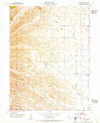
1952 · Fruto NE
USGS Topo · 1:24,000
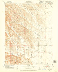
1952 · Kurand
USGS Topo · 1:24,000

1952 · Paskenta
USGS Topo · 1:62,500