Loading...
Loading map...2023 Map of Junction
USGS Topo · Published 2023About this map
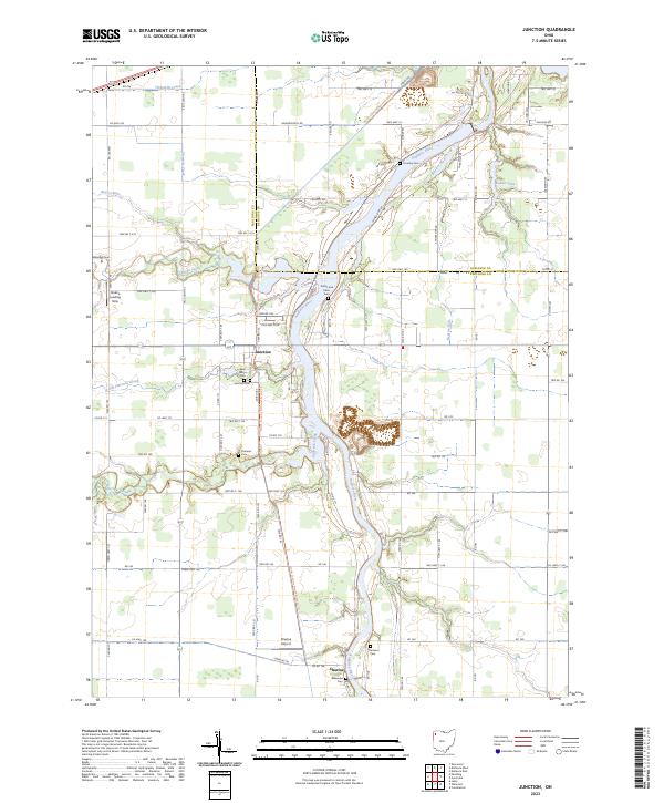
The Auglaize River dominates this northwest Ohio landscape, winding north across the boundary between Paulding and Defiance counties. This area is defined by its small settlements and numerous small burial grounds, including the Saint Marys Cem and Junction Cem near the community of Junction. Further south, the village of Charloe sits near the river banks, accompanied by the Blakeslee Cem and the Charloe Airport landing field.
Find a feature on this map
95 named features on this map. Tap any name to fly to it.
Don’t see what you’re looking for? This feature index may not catch every label — zoom into the map to look around manually.
Map Details
Date Portrayed2023
Date Published2023
PublisherU.S. Geological Survey
Map TypeTopographic
Scale1:24000
Physical Dimensions24 x 29 inches
Editions of this 2023 Junction Map
This is the sole edition of this map. No revisions or reprints were ever made.
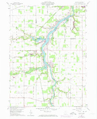
Historical Maps of Paulding County Through Time
Featured Locations
Source Details
SourceU.S. Geological Survey
CopyrightPublic Domain