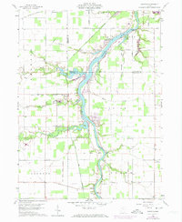
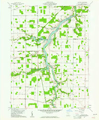
1960 Map of Junction
USGS Topo · Published 1974About this map
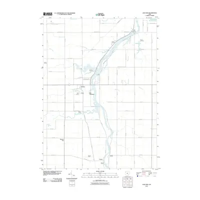
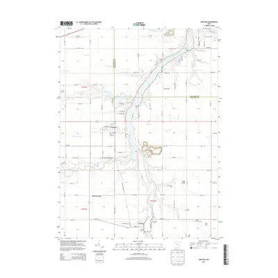
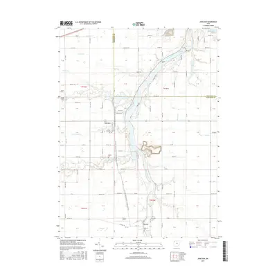
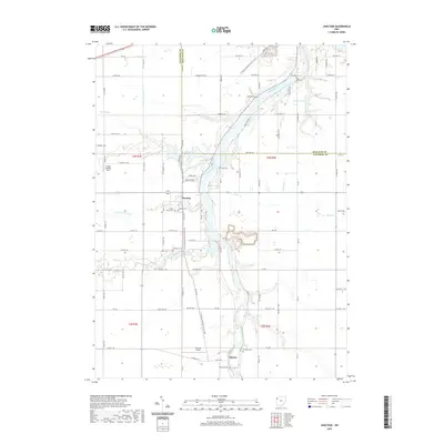
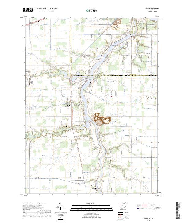
The Auglaize River dominates this Paulding County landscape, winding northward past the small settlements of Charloe and Junction. This 1960 survey, updated in the early 1970s, captures a rural area defined by its historic transportation arteries and treaty lines. The Old Indian Treaty Boundary slices diagonally across the southern half of the sheet, while the ghosts of the region’s canal era are visible in the paths of the Miami and Erie Canal (Abandoned) and the Wabash and Erie Canal (Abandoned). Local genealogy and community life are well-represented by several family-named landmarks and rural congregations, including Dotterer Cem, Sherman Cem, and Rose Hill Ch. Evidence of varied land use appears throughout, from the Norfolk and Western railroad in the north to the Bauer Landing Field in the southeast.
Find a feature on this map
46 named features on this map. Tap any name to fly to it.
Don’t see what you’re looking for? This feature index may not catch every label — zoom into the map to look around manually.
Map Details
Editions of this 1960 Junction Map
2 editions found
Historical Maps of Charloe Through Time
6 maps found