
1959 Map of Defiance East
USGS Topo · Published 1961About this map
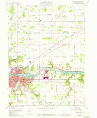
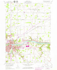
The confluence of the Maumee River and Auglaize River serves as the focal point for this 1959 study of northwest Ohio. At this junction, Defiance thrives as a regional hub, its urban layout featuring prominent institutions like Defiance College and the County Hospital. The landscape preserves traces of earlier transportation eras, most notably the Miami and Erie Canal (Abandoned) which runs parallel to the river. Historical continuity is evident at Old Fort Defiance Park, marking the site's strategic importance long before the arrival of the Wabash railroad.
Find a feature on this map
70 named features on this map. Tap any name to fly to it.
Don’t see what you’re looking for? This feature index may not catch every label — zoom into the map to look around manually.
Map Details
Editions of this 1959 Defiance East Map
3 editions found
Other maps of this area

1907 · Defiance
USGS Topo · 1:62,500

1908 · Ottawa
USGS Topo · 1:62,500

1908 · Napoleon
USGS Topo · 1:62,500

1909 · Defiance
USGS Topo · 1:62,500

1909 · Continental
USGS Topo · 1:62,500

1953 · Fort Wayne
USGS Topo · 1:250,000

1956 · Fort Wayne
USGS Topo · 1:250,000
1959 · Ridgeville Corners
USGS Topo · 1:24,000

1959 · Florida
USGS Topo · 1:24,000
1959 · Napoleon West
USGS Topo · 1:24,000