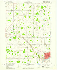
1959 Map of Napoleon West
USGS Topo · Published 1961About this map
The Maumee River defines the southern edge of this landscape, where the bustling hub of Napoleon serves as the focal point for regional activity. Just before the turn of the 1960s, the area reflects a robust agricultural and transport network, anchored by the Wabash railroad and the Grand Army of the Republic Highway. The rural sections are meticulously subdivided into townships like Freedom and Ridgeville, punctuated by community institutions such as St Johns Ch and the Town Hall. Notable for genealogists, the map preserves the locations of numerous small burying grounds and religious sites, including St Lukes Sch Cem and Freedom Cem. The presence of a Claypit and a Drive-in Theater near the town center highlights the era's local industry and leisure, while family-named roads like Nagel Road and Youngman Rd offer specific clues for tracing 20th-century family history.
Find a feature on this map
48 named features on this map. Tap any name to fly to it.
Don’t see what you’re looking for? This feature index may not catch every label — zoom into the map to look around manually.
Map Details
Editions of this 1959 Napoleon West Map
2 editions found
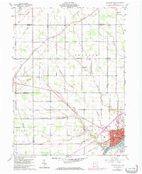
Other maps of this area

1907 · Defiance
USGS Topo · 1:62,500

1908 · Napoleon
USGS Topo · 1:62,500

1909 · Defiance
USGS Topo · 1:62,500

1911 · Wauseon
USGS Topo · 1:62,500

1913 · Wauseon
USGS Topo · 1:62,500

1913 · Alvordton
USGS Topo · 1:62,500

1943 · Wauseon
USGS Topo · 1:62,500

1944 · Alvordton
USGS Topo · 1:62,500

1953 · Fort Wayne
USGS Topo · 1:250,000

1956 · Fort Wayne
USGS Topo · 1:250,000